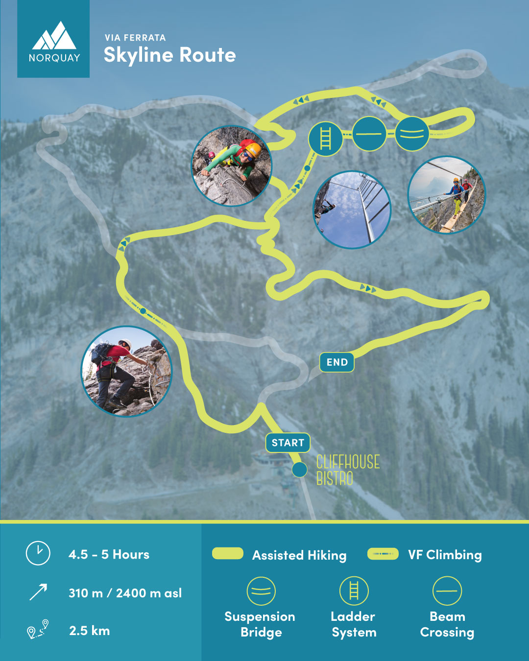
Trail Map
Perfect turns for over 90 years
Area Elevation
Base – 1680 meters (5,500 feet)
Top – 2450 meters (8,040 feet)
Vertical Drop
503 metres (1,650 feet)
Slopes/Terrain
Vertical Rise – 503 meters (1,650 feet)
Longest Run – 1167 meters (3,828 feet)
Skiable Terrain
60 runs spread over 190 acres
Lifts
1 High-speed quad chairlift
2 Fixed-grip quad chairlifts
1 Double chairlift
2 Surface lifts
Total lift capacity: 7,000 people per hour
Average Snowfall
300cm (120 inches)
Snowmaking
85% of skiable terrain


